Resource Library
Understanding SITE for Engineers: FAQs
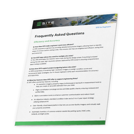
Engineers need accurate data without the hassle of multiple site visits. This document breaks down how SITE Technologies uses high-resolution imagery and AI-driven analysis to streamline assessments, improve budgeting, and enhance project planning.
You’ll learn about key features like property mapping, automated asset inventory, and long-term condition tracking—all designed to make data collection more efficient. Plus, it covers the expert support and image coordination services that help engineers make more informed decisions with less time on-site.

